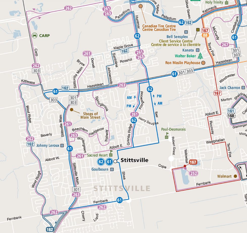
On paper, Stittsville appears to be well-served by transit.
On top of major feeder routes 61 and 62, we have several connexion buses running on weekdays to zip workers downtown and back during rush hours. The 162 runs off-peak to shuttle folks to and back from Kanata Centrum.
But transit is only as good as it is accessible — and getting to the stop can be a mixed bag depending on where you live in Stittsville.
In a 2016 story about the relationship between density and transit, we quoted urbanist and Carleton University professor Benjamin Gianni on how close a bus stop should be to encourage someone to walk to it.
“Your ability or your desire to take transit has a lot to do with whether or not you can walk to it” he said. “There’s a magic radius of about 600 meters around a transit stop, and beyond that people simply won’t walk.” (OC Transpo uses a 400-metre distance for their planning.)
So with 600 metres (about seven minutes at the leisurely pace of 5.1 km/h) as our baseline, we took a look at a few places in Stittsville to measure their walking distance with Google Maps.
Note: This is absolutely not scientific and is not intended to calculate an average, but offers some perspective into walking distances.
Springwood Circle
If you’re in this general part of the street and are looking to catch the 62 or 61 at Stittsville Station on Shea Road, you’ve got nearly a kilometre of walking ahead of you. The actual air distance is about 650 metres, but unless you can walk through walls you’ll have to take the long way (and no, cutting through school property saves basically no time.)
But if you only need transit to get downtown in the AM and back in the PM, the 261 connexion is about half that distance, at Abbott and Moss Hill.

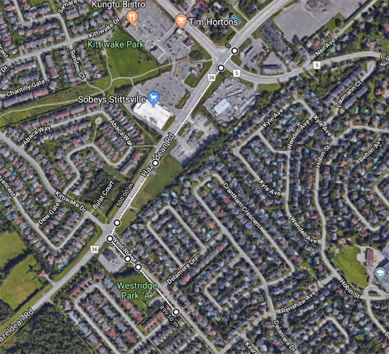
Whalings Circle
As someone who’s lived on this block, I can personally attest that the highlight of the 900-or-so metre walk to the nearest regular bus stop was straddling the sidewalk-less shoulder of Hazeldean Road as cars zoom by. The best part of my commute, really.
The 262 connexion or off-peak 162 routes are about 30 seconds away, so good marks for that.
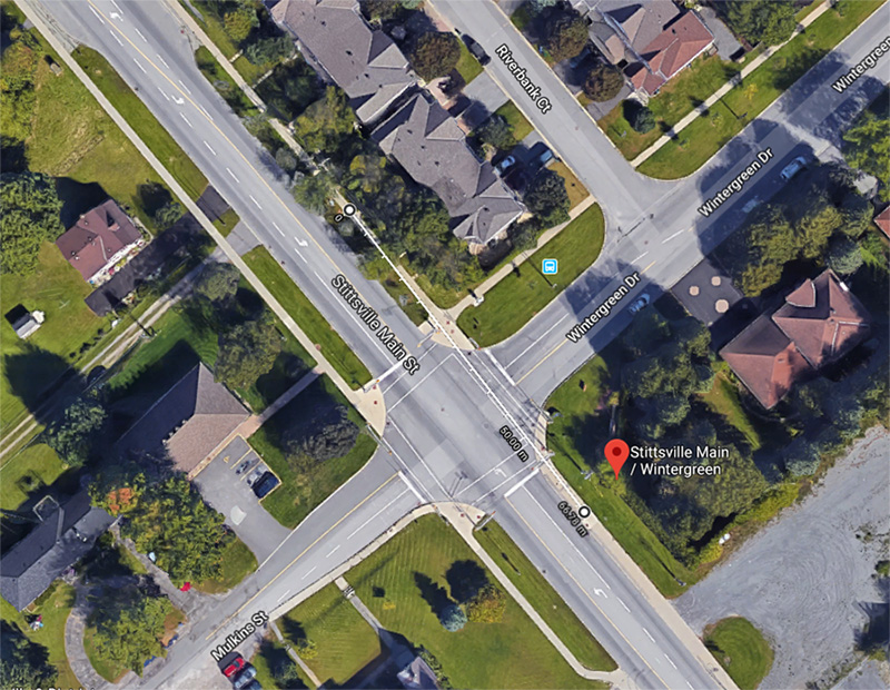
Stittsville Main Street
You could practically fall down your front steps and into a bus on half of Main Street.
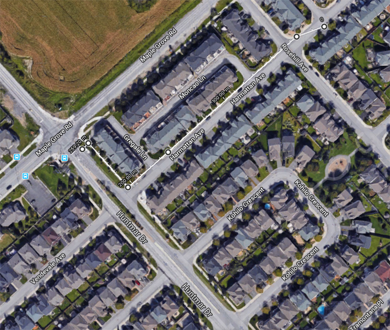
Harmattan Avenue
The Fairwinds neighbourhood is denser than most in Stittsville and has a slightly more organized road layout with plenty of sidewalks, making walking easy. With the 62 running along Huntmar Drive, transit is nearby for many. (Here’s more on how Fairwinds is a model of sorts for new subdivision design.)
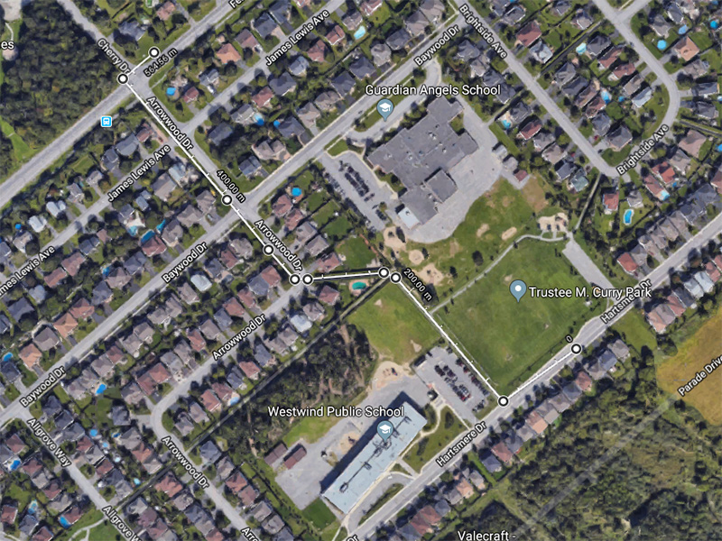
Hartsmere Drive
What was originally intended to be an extreme example, this turned out actually ideal thanks to a walking path. As Jarrett Walker writes in the popular blog Human Transit, paths can be very useful for increasing accessibility to transit.
How’s the walking distance to transit from your place? Send transit notes and gripes to feedback@stittsvillecentral.ca.


